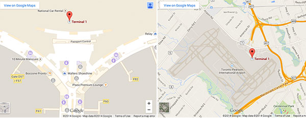
Toronto Pearson International Airport has teamed up with Google Maps to offer passengers detailed indoor maps of the terminal to help with wayfinding both pre- and post-security.
Passengers departing from the Canadian airport can use both Google Maps and Google Maps for mobile to find amenities and points of interest in both terminals. They can view an overview of the terminal floor plans and zoom in on specific points.
Scott Collier, Vice President of Customer and Terminal Services, Greater Toronto Airports Authority (GTAA), explained that offering travellers access to indoor maps “directly supports our strategic goals of improving our ability to connect with our passengers”.
He added: “It’s important that we connect with passengers using the technology and platforms that meet their needs and exceed their expectations.”